

A ham radio grid square is a system that helps radio operators identify their locations easily. This system, known as the Maidenhead Locator System, divides the Earth into small, manageable squares.
Each grid square is identified by a combination of letters and numbers, simplifying communication and coordination across the globe.

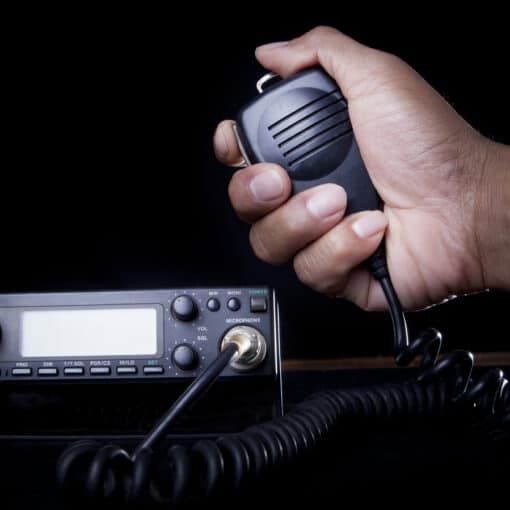
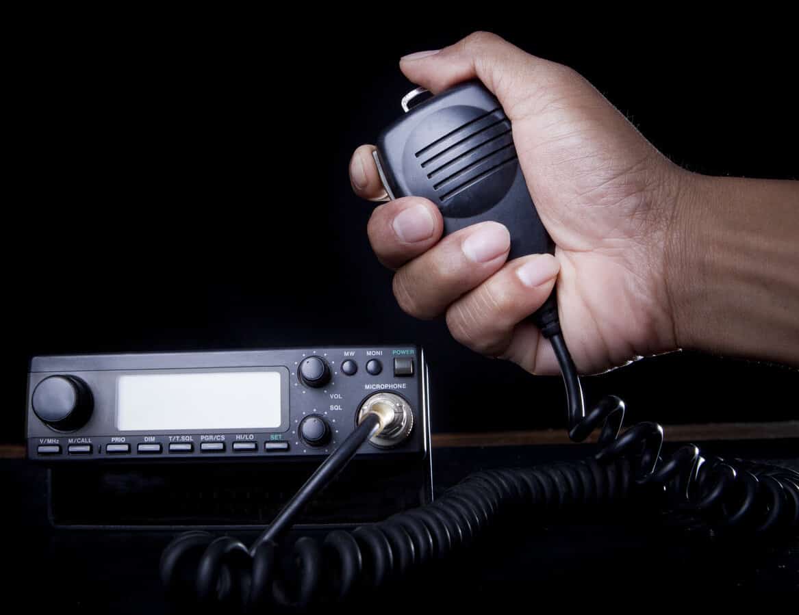
Ham radio enthusiasts use grid squares to share their locations without the need for detailed addresses. This system is particularly useful during contests and when operators want to confirm contacts.
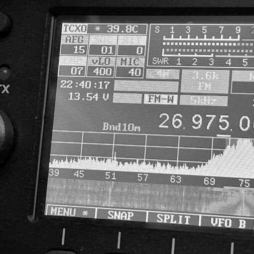
A grid square measures 1° latitude by 2° longitude, which translates to approximately 70 by 100 miles in the continental U.S.
Understanding how a grid square works can greatly enhance your experience with ham radio. By using tools like the QRZ GridMapper or the ARRL Grid Locator, you can quickly determine your own grid square and start using it in your communications.
This not only improves accuracy but also adds a layer of professionalism to your amateur radio activities.
Key Takeaways
- A ham radio grid square helps identify locations easily.
- The Maidenhead Locator System divides Earth into manageable squares.
- Knowing your grid square enhances ham radio communication.
Understanding Grid Squares in Ham Radio
Grid squares are a way to pinpoint locations on Earth in the context of ham radio. The system used is the Maidenhead Locator System, which organizes the Earth into squares based on latitude and longitude values.
The Maidenhead Locator System
The Maidenhead Locator System is named after the town of Maidenhead, where it was first developed. It divides the world into a grid of squares.
Each grid square measures 1 degree of latitude by 2 degrees of longitude. These squares are further divided into smaller sub-squares for more precise location tracking. For instance, a grid square might have the code “FN31,” providing a general location.
The system helps radio operators quickly and efficiently communicate their locations. By using a grid square, they can avoid giving lengthy coordinates. This system is crucial for activities like contests, awards, and general communication in the ham radio community.
Determining Your Grid Square
To determine a grid square, one can use a map or online tools. Websites like GridMapper by QRZ allow users to click on a map to find their grid square.
By entering their latitude and longitude, they can also discover their specific square. This is sometimes referred to as the QTH locator.
Grid squares are expressed in a four-character code, such as FN44. This code corresponds to a specific area on the Earth’s surface.
For more precise needs like UHF and microwave contacts, sub-squares are used. These are smaller sections within a grid square, offering detailed location data.
Using GPS or online maps, amateurs make sure they are transmitting from a known and accurate location. This process ensures efficient and clear communication in ham radio operations.
Practical Uses of Grid Squares in Amateur Radio
Ham radio grid squares are essential for pinpointing locations, especially in communication and during contests. They also aid in mapping, which helps enthusiasts keep track of contacts and log data accurately.
Communication and Contesting
Grid squares help amateur radio operators identify their exact location. By using a combination of a city and state or two-letter codes, they can express their address in shorthand.
This is valuable during contests where quick and precise communication is crucial.
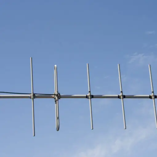
In VHF and UHF bands, knowing grid squares allows for more focused and effective communication. Operators exchange this information for making contacts and confirming locations.
Including grid square data helps verify and log contacts accurately, making it easier to track long-distance communications and participation in ham radio contests.
This grid system simplifies the management of extensive contact records, enhancing the clarity and accuracy of communication logs.
By knowing each other’s grid squares, operators can confirm their reach and improve transmission techniques, thereby enhancing the entire communication experience.
Grid Square Mapping Tools
Mapping tools like GridMapper and other internet-based tools help visualize and confirm grid squares.
These tools enable users to input their location, which is translated into a grid square. This assists in logging contacts, planning transmissions, and analyzing communication patterns.
Amateur radio enthusiasts often use these tools to enhance their digital operator toolboxes.
Maps and grids displayed in these tools make it easier to assess reach and signal quality in different areas.
For example, the US Grid Square Map helps operators find locations within the United States precisely.
Tools like these often include features that randomize station locations slightly to protect privacy, displaying data in user-friendly formats.
Frequently Asked Questions
Ham radio grid squares help define locations. Understanding their use is essential for effective communication and organization in amateur radio.
How is a grid square determined in amateur radio?
Grid squares are determined by latitude and longitude. Each square is defined by a coordinate pair, forming a unique identifier. The system uses both 4-digit and 6-digit grid squares, with 6-digit squares offering more precise location information.
What purposes do grid squares serve in ham radio communications?
Grid squares help operators know each other’s locations. They are useful for logging contacts and organizing contests. Grid square information is also used for awards in amateur radio.
How can one locate their own grid square for ham radio use?
Operators can locate their grid square using online tools like GridMapper by QRZ. Entering specific coordinates or clicking on a map can reveal the exact grid square.
Are there mobile applications available to find ham radio grid squares?
Yes, there are mobile apps available. These apps use the phone’s GPS to determine the user’s current grid square. Some popular options include HamGPS and Grid Square Locator.
What is the relationship between grid squares and geography?
Grid squares are based on the Earth’s geographic coordinate system. They divide the Earth’s surface into a grid. Each square represents a specific area, smaller at higher resolutions with 6-digit grids offering more precision.
How many grid squares are there in the ham radio system?
There are tens of thousands of grid squares globally. The 4-digit grid squares cover larger areas. Meanwhile, the 6-digit ones cover smaller, more specific locales. This extensive system allows for detailed location tracking.
